City Council Agenda Packet September 24, 2025:
https://5il.co/3pyx6
https://5il.co/3pyx6
Approved City Council Minutes August 27, 2025:
https://5il.co/3pywt
https://5il.co/3pywt
Hospice Gathering for Lost loved Ones:
https://5il.co/3pyw2
https://5il.co/3pyw2
The City of Burns will be closed on Monday September 15, 2025, due to illness. We will resume normal business hours tomorrow, Tuesday, September 16, 2025. Thank you for your understanding. We apologize for any inconvenience this may cause.
September 17, 2025 Work Session Meeting:
https://5il.co/3pob2
https://5il.co/3pob2
Work Session Agenda Packet September 17, 2025 - Updated:
https://5il.co/3pmc6
https://5il.co/3pmc6
City Council Agenda Packet September 10, 2025:
https://5il.co/3paww Sort Icon
City Council Work Session Agenda Packet September 17, 2025:
https://5il.co/3pawx
https://5il.co/3paww Sort Icon
City Council Work Session Agenda Packet September 17, 2025:
https://5il.co/3pawx
Cemetery Agenda Packet September 9, 2025 (1):
https://5il.co/3pawv
https://5il.co/3pawv
Airport Budget Review Meeting Agenda_09.08.2025:
https://5il.co/3p5lr
https://5il.co/3p5lr
Airport Committee Meeting Agenda_09.08.2025:
https://5il.co/3p5lq
https://5il.co/3p5lq
The City of Burns is proud to announce the Outstanding Performance of our Water System. A recent water system survey was conducted with the Oregon Health Authority the main purpose of the survey is evaluate the entire water system in terms of supplying safe drinking water to the public. Water systems facilities and records were found to be well maintained. No significant deficiencies or rule violations. As an outstanding performer it takes a collective effort of our entire team and immense pride we play to ensure our community has access to clean and safe drinking water from maintaining water quality to improving infrastructure and implementing innovative technologies.
The City of Burns has successfully completed their search for the next City Manager. We are happy to announce that on Tuesday, September 2, the city offered the position to Brenda Engebretson and she has accepted. She will begin her position with the City on September 22, 2025. Ms. Engebretson has lived in Harney County for 13 years and the council believes that her knowledge of the area coupled with her background and training makes her a perfect fit to move forward with the projects and vision that the city has worked hard to implement.
We all couldn’t be happier that we found her!
Judy Erwin
City Manager
City of Burns Oregon
We all couldn’t be happier that we found her!
Judy Erwin
City Manager
City of Burns Oregon
Approved City Council Minutes August 13, 2025:
https://5il.co/3ouzt
https://5il.co/3ouzt
UPDATE: WORK COMPLETE
Expect water interruptions on Madison, North Imperial, North Harney, and West Adams while work is being done in that area. Currently, we do not have an estimated time the work will be done, but we will keep you updated as we know more. Thank you for your understanding.
Special Council Meeting Agenda - August 29, 2025:
https://5il.co/3osms
https://5il.co/3osms
The City of Burns will be having a meet and greet with a new City Manager candidate this Wednesday from 5:00 p.m to 6:00 p.m. in the Burns City Council Chambers. We hope the community will come down and take the time to meet with the new canidate. We look forward to seeing everyone there!
City Council Agenda Packet August 27, 2025:
https://5il.co/3ocyf
https://5il.co/3ocyf
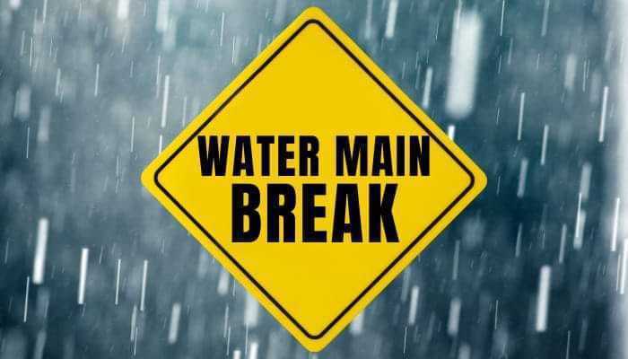
ISSUE HAS BEEN FIXED AND WATER IS RESTORED
PUBIC NOTICE: Water Main break on Harney and Jefferson. Expect water interruptions. Also, please be careful while driving as our crew will be out working on getting the issue fixed. Thank you.
Approved City Council Minutes July 23, 2025:
https://5il.co/3nwpy
Executive Session Notice August 19, 2025_430pm:
https://5il.co/3ngeu Sort Icon
City Council Packet August 13, 2025:
https://5il.co/3ngew
https://5il.co/3ngeu Sort Icon
City Council Packet August 13, 2025:
https://5il.co/3ngew